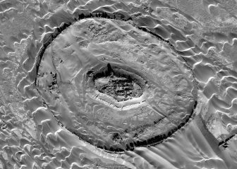
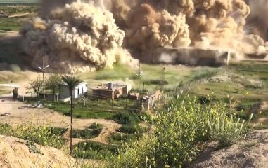
Spy satellite imagery utilised by archaeologists to survey remote areas

Satellite data, along with U.S. spy satellite and military drone images are being used by archaeologists to view remote sites in Afghanistan that are too dangerous for researchers to visit.
